Building Construction
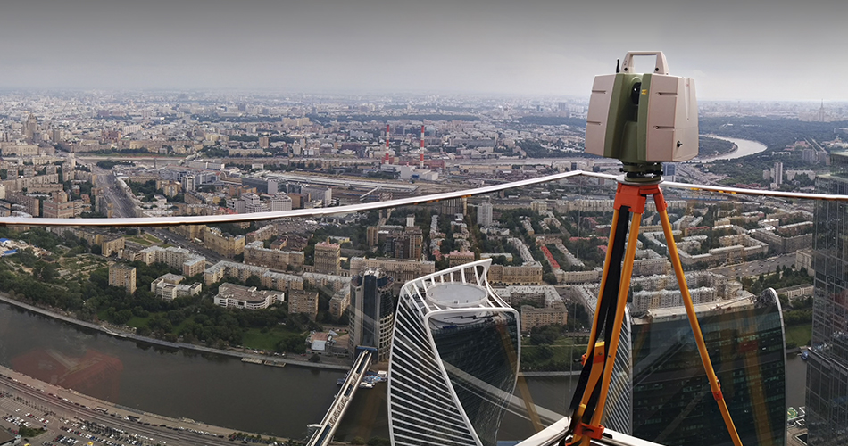
Terrestrial laser scanning is an important tool in civil engineering due to its relevance and wide range of applications. It provides accurate and detailed data on existing objects and areas, which greatly simplifies design and construction.
One of the main advantages of terrestrial laser scanning is its high accuracy. Scanning is performed using a laser beam that measures the distance to objects with a high degree of accuracy. This allows obtaining a three-dimensional model of the object with a high degree of detail, which is especially important in the design and construction of complex structures.
In addition, terrestrial laser scanning can significantly reduce the time and cost of data collection. Instead of traditional methods that require numerous measurements and manual data processing, scanning provides complete site information in a short time. This speeds up the design process and saves resources.
The application of terrestrial laser scanning in civil engineering has many successful examples. For example, when reconstructing and restoring historical buildings, scanning allows to accurately recreate architectural details and preserve their original appearance. Also, when designing new buildings, scanning helps to take into account the specific features of the terrain and existing facilities, which increases the efficiency of design and construction.
In conclusion, terrestrial laser scanning is a relevant and effective tool in civil engineering. Its advantages in accuracy and saving time and resources make it indispensable in the design and construction of various objects. Examples of successful applications confirm its effectiveness and importance in this field.