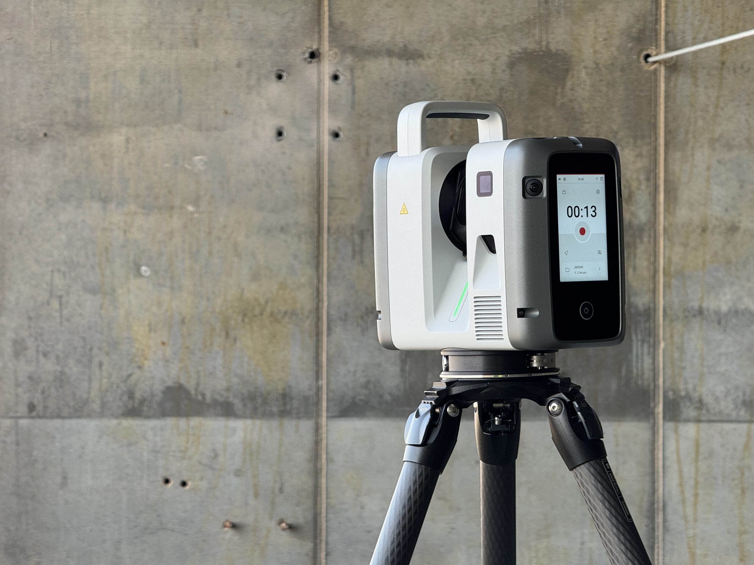
Trimetari Consulting conducted field testing of the latest Leica Geosystems scanner model in Saudi Arabia. The evaluation was performed on-site by the company’s CEO and Project Manager to assess the equipment’s performance under real-world operational conditions.
The following insights were gathered during the initial field deployment:
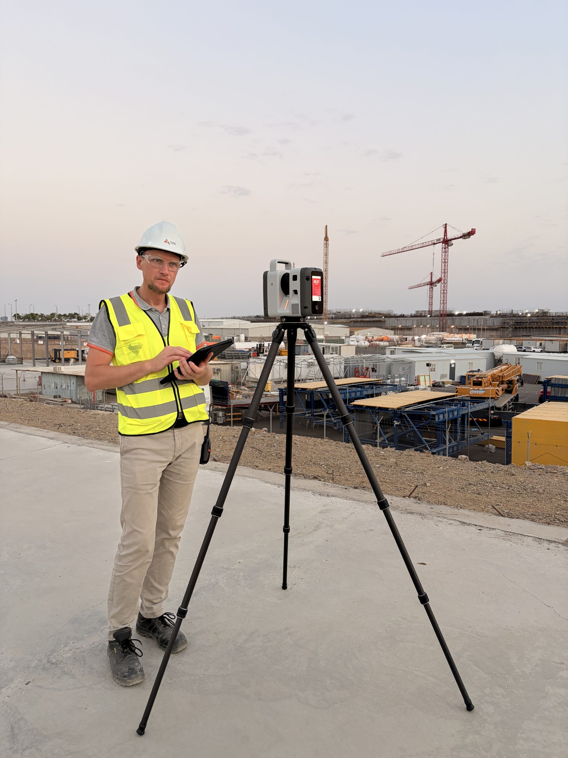
Mikhail Anikushkin (CEO):
“The upgrade to a six-camera panorama capture system represents a significant technological advancement. This enhancement facilitates accelerated data collection, directly improving project delivery timelines for our clients. Given the scale of current regional projects, operational efficiency is paramount. Furthermore, the expanded operating temperature range is critical for ensuring equipment reliability in the demanding environmental conditions of Saudi Arabia. This level of innovation is essential for maintaining a competitive edge.”
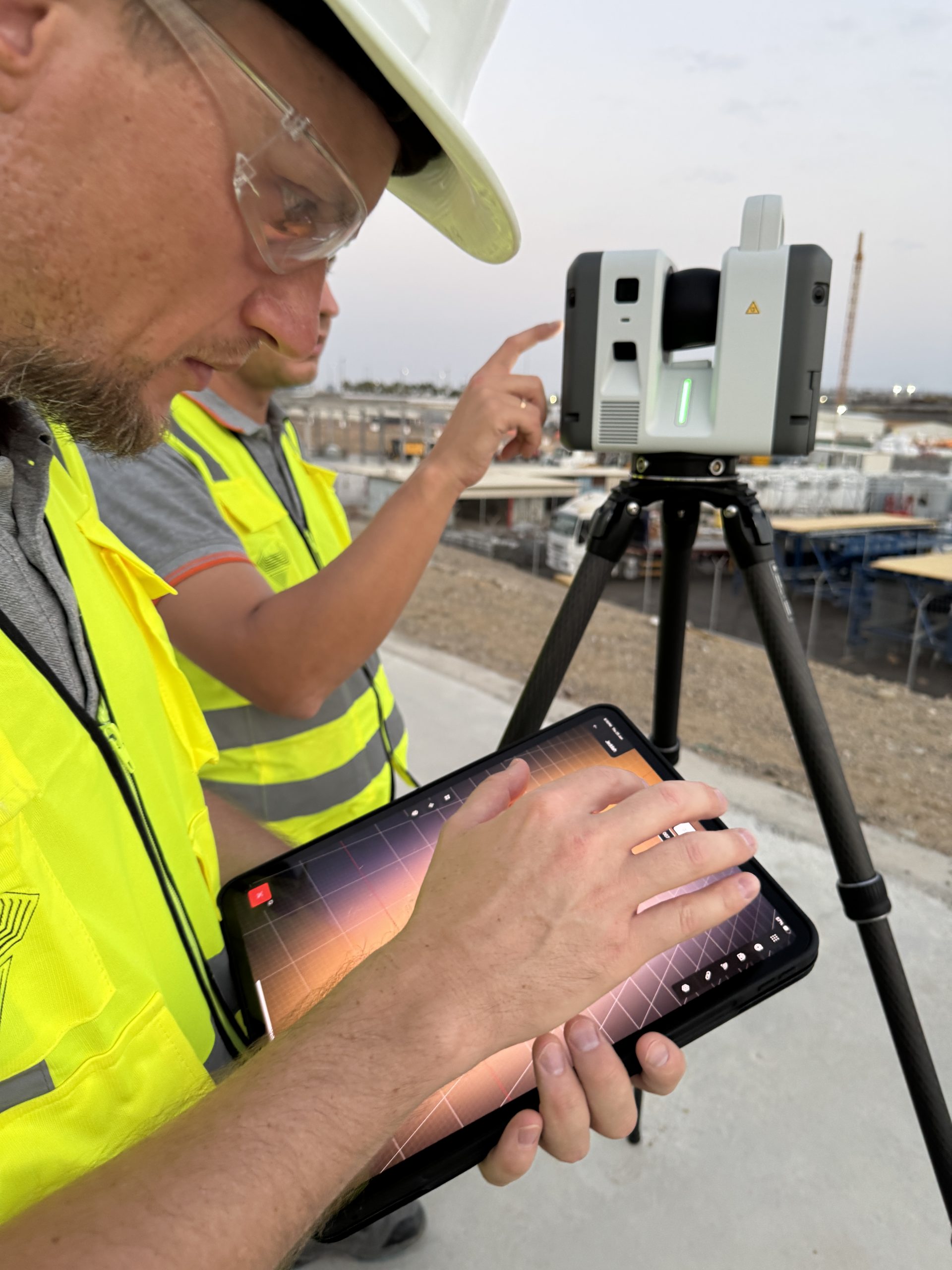
Anton Parsukov (Project Manager and Senior Surveyor):
“Being among the first to evaluate this new model has been highly productive. Ergonomic improvements, such as the redesigned handle and batteries with integrated charge indicators, significantly streamline field operations. Additionally, the flexible scanning mode configuration and reduced processing time for 360-degree panorama photography enable a higher volume of data capture within the same operational timeframe.”
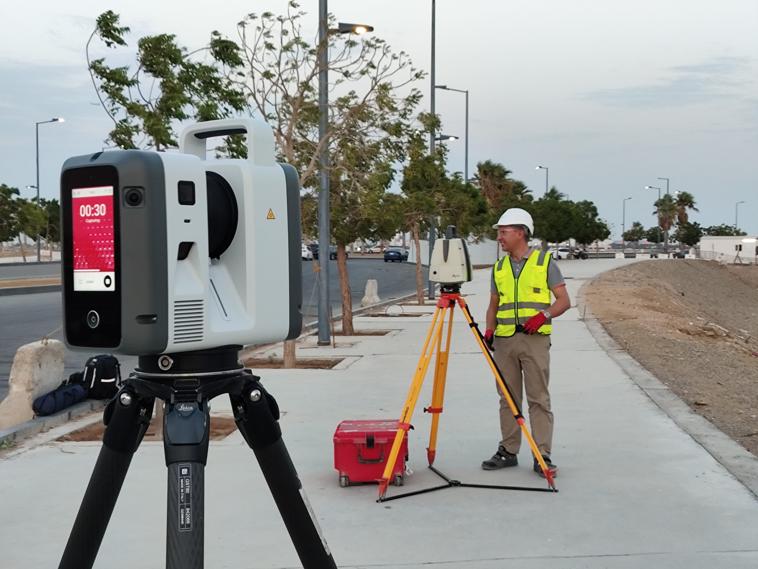
Leica Geosystems continues to advance the boundaries of reality capture technology, and this latest model reaffirms that commitment. Trimetari Consulting appreciates the opportunity to evaluate this technology in a live project environment and values Leica Geosystems as a strategic partner dedicated to driving industry innovation forward.