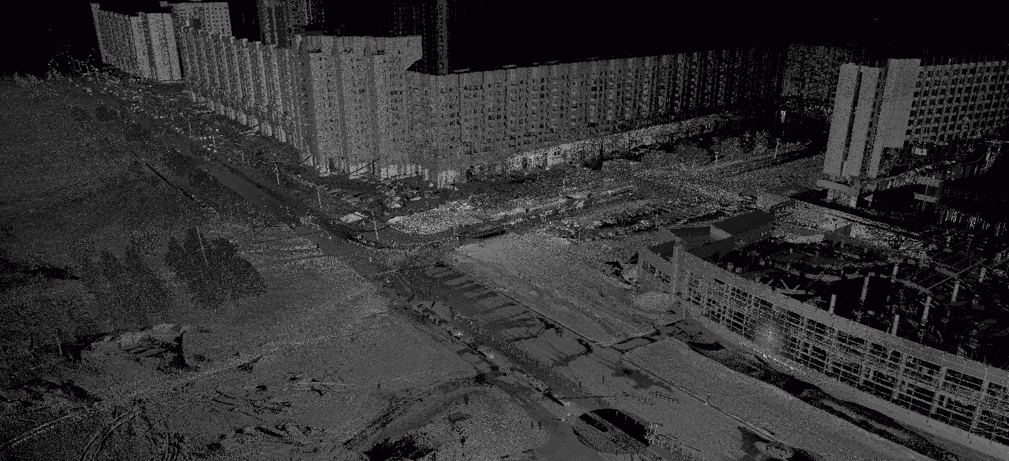
In May 2011, Trimetari performed laser scanning of a motorway in St. Petersburg. The customer was a design organisation applying modern design methods. It was planned to repair the road surface using automated construction machinery control systems (ACCS). This factor was the main reason for choosing the laser scanning method for the survey.
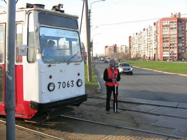
A 1 km long road section, including roadbed, kerb stones, pavements, intersections, situation in the laser scanner coverage area was surveyed during 12 hours of work of the field team. Bounding to the survey base points was carried out with the help of a bosotrazatory total station using special marks by the backsight method. Chamber processing of the obtained data was reduced to registration (equalisation) of data, cleaning from noise, thinning and export in the form of a point cloud. Further on, the designers worked with the point model.
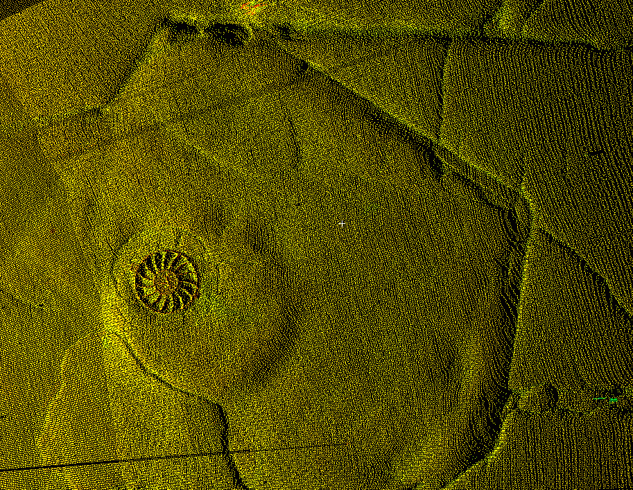
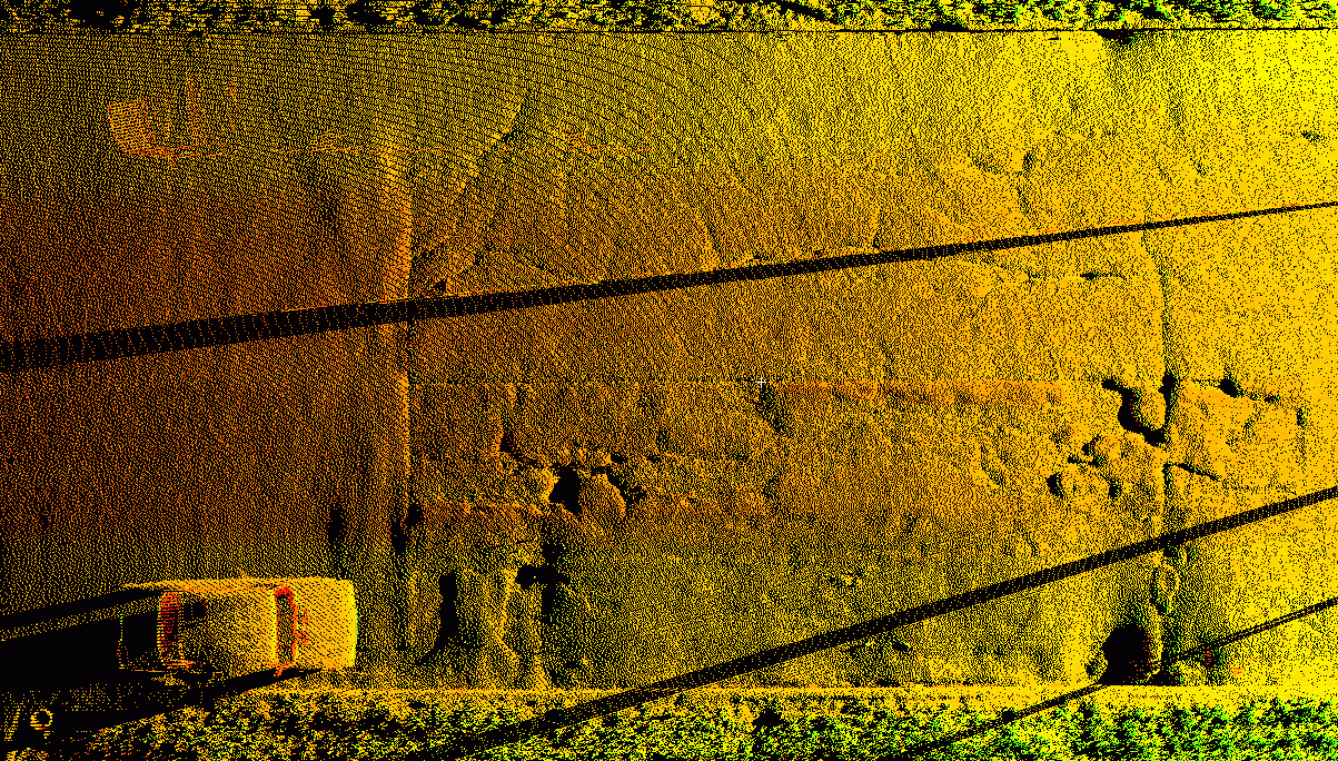 As traffic was not blocked at the site, passing vehicles left their trace on the resulting point cloud, which required efforts at the desktop stage – all points belonging to vehicles were removed. Thinning allows to harmonise the density of the final point cloud. This is because the effect of the polar principle of measurement is uneven density distribution – density is high in the immediate vicinity of the instrument mounting point and decreases with distance from the scanner. Thinning allows to optimise the ratio of detail and data file size, as a result of this stage of work the distance between measuring points becomes the same throughout the whole area. Otherwise, all other processing steps are quite simple and easy to automate.
 The project confirmed the efficiency of using terrestrial laser scanning for road surveying. Firstly, the non-contact principle of measurements makes the work safe – it is much more dangerous to carry out measurements with optical means (total stations), placing the milestone on the carriageway. If on a narrow road with little traffic this problem is somehow solved, then it is simply not possible to perform surveys on a multi-lane motorway with dense traffic. Secondly, the detail of the survey when using a scanner is increased thousands of times, you can get a detailed (up to centimetres) digital model of the road surface in polygonal form. Thirdly, the speed of the field phase. For 1 km of an average motorway it takes 1 light day of work of the field group. At the same time, the measurement error is within 1 cm from the plan-altitude substantiation.